Photo: David Swanson / reuters
‘The program monitors over 1,000 camera feeds across the region to detect potential fires.’
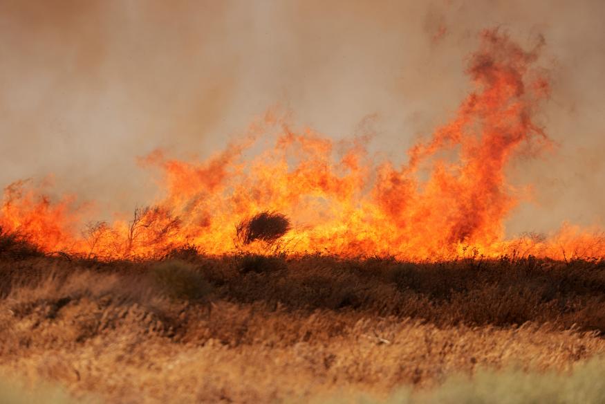
The use of artificial intelligence (AI) in detecting wildfires has become a crucial tool in combating the devastating effects of climate change. The California Department of Forestry and Fire Protection (Cal Fire) has partnered with the University of California San Diego to develop the Alert California AI program, which utilizes AI technology to identify abnormalities within camera feeds from 1,032 360-degree rotating cameras. This program aims to alert emergency services and authorities to potential wildfires, allowing for a swift and effective response.
Since its launch in July, the Alert California AI program has already proven its effectiveness by preventing at least one potential wildfire. A camera captured a fledgling fire burning at 3 am in the remote Cleveland National Forest east of San Diego, and the AI quickly detected the inferno. The fire captain was immediately notified and called in approximately 60 firefighters, along with essential firefighting equipment. Thanks to the prompt response, the flames were extinguished within just 45 minutes.
The technology behind Alert California involves LiDAR scans taken from airplanes and drones, which provide precise three-dimensional information about scanned surfaces. This data, combined with knowledge about the physical traits of various tree species, offers valuable insights into California’s forest biomass and carbon content. To differentiate between smoke and other airborne particles, the ML model leverages petabytes of data from the cameras.
The program was developed by engineers at the University of California San Diego, in collaboration with the California-based company DigitalPath. Cal Fire has invested over $20 million in the program over the past four years and plans to allocate an additional $3,516,000 in the near future.
Neal Driscoll, a geology and geophysics professor at UCSD who serves as the program’s principal investigator, emphasized the urgency of the climate crisis. “We’re in extreme climate right now,” Driscoll said. “So we give them the data because this problem is bigger than all of us. We need to use technology to help move the needle, even if it’s a little bit.” However, Driscoll acknowledged that the current sample size is too small to determine the program’s overall effectiveness.
To witness the extensive coverage provided by Alert California, users can explore the “camera quilt” on the program’s official website. This grid displays live camera views from various locations across the region and can be accessed conveniently through both computers and mobile devices.
